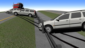
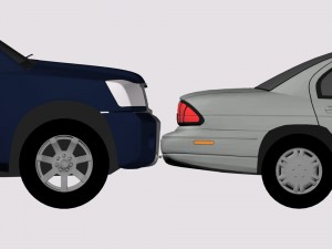
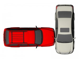
In preparation for deposition and trail in accident reconstruction, we create 3D CAD models of the scene and vehicles. This allows us to accurately position the vehicles during the entire accident sequence.
The scene models are built from precise total station measurements we take at the scene. We create accurate models of the road surface, adjacent roads, road markings (dash lines, centerlines, fog lines, stop bars, police paint marks, etc.), shape of the shoulder, signs, poles, traffic signals and anything else that might be relevant to the accident. If the accident was recent, we document tire marks, gouge marks, debris, etc. Otherwise, we use photogrammetry to determine the position of tire marks and gouge marks.
The vehicle models represent the shape of the vehicles before and after the accident. When the vehicles are still available, we use a total station to accurately measure the deformed shape of the vehicle. We measure the wheel positions, crush of fenders, doors, roofs, hood, trunk, bumpers and frame members. We will sometimes measure an exemplar vehicle as a representation of the undeformed shape but most often we are able to find commercial 3D CAD models of the vehicles for use in our analysis.
As part of our analysis, we position the tires of a vehicle on top of the tire marks left at the scene. We also use the damage to the vehicle to determine the relative positions of the vehicle at initial impact. By positioning all of the vehicles this way, we are able to determine the motions of the vehicles before impact, at impact and after impact up to final rest. For reconstruction of rollover accidents, the use of 3D models means that we can show the vehicle in its correct orientation throughout the rollover, matching evidence at the scene with the damage to the vehicle.
These reconstruction drawings are simplified and labeled for use in deposition and trial. This allows us to illustrate the process of reconstructing the accident and show a jury key aspects of the analysis that allowed us to formulate our opinions. We frequently create a layer in the drawing taken from a satellite photograph to make the scene model more realistic.
Occasionally a client will ask us to create an illustration for their use. For instance, they might want an accurate scene drawing without the vehicle positions to have witnesses mark where they first saw a vehicle before the accident.


